We are committed to creating healthy, resilient communities that are people-focused, ecologically diverse and resource-efficient.
-
Geospatial Analysis + Visualization
Over 20 years of experience building geospatial tools to support design + planning teams, including:
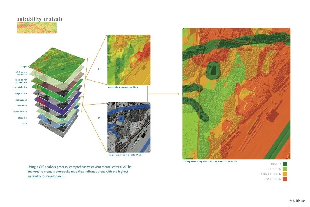
• Integrated planning issues + opportunities analysis
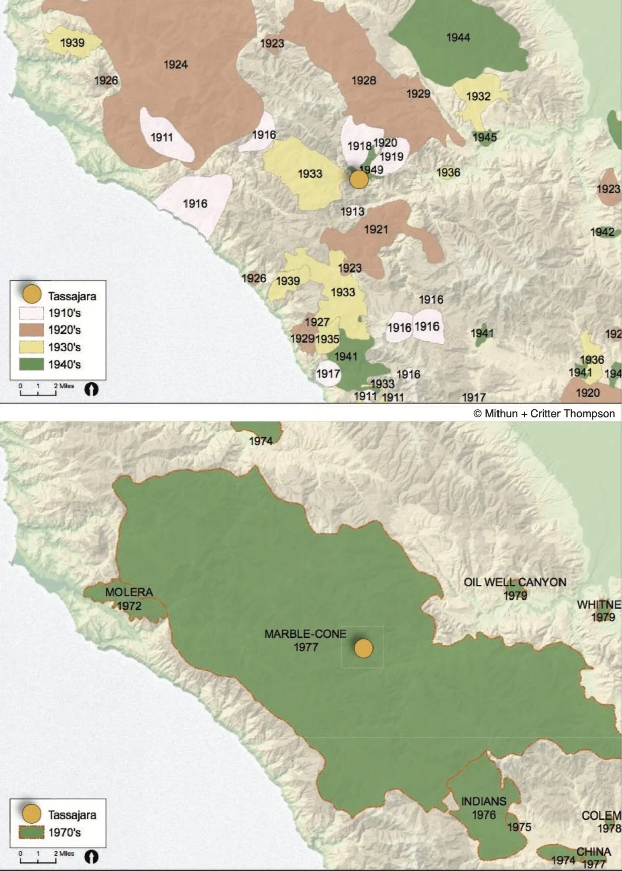
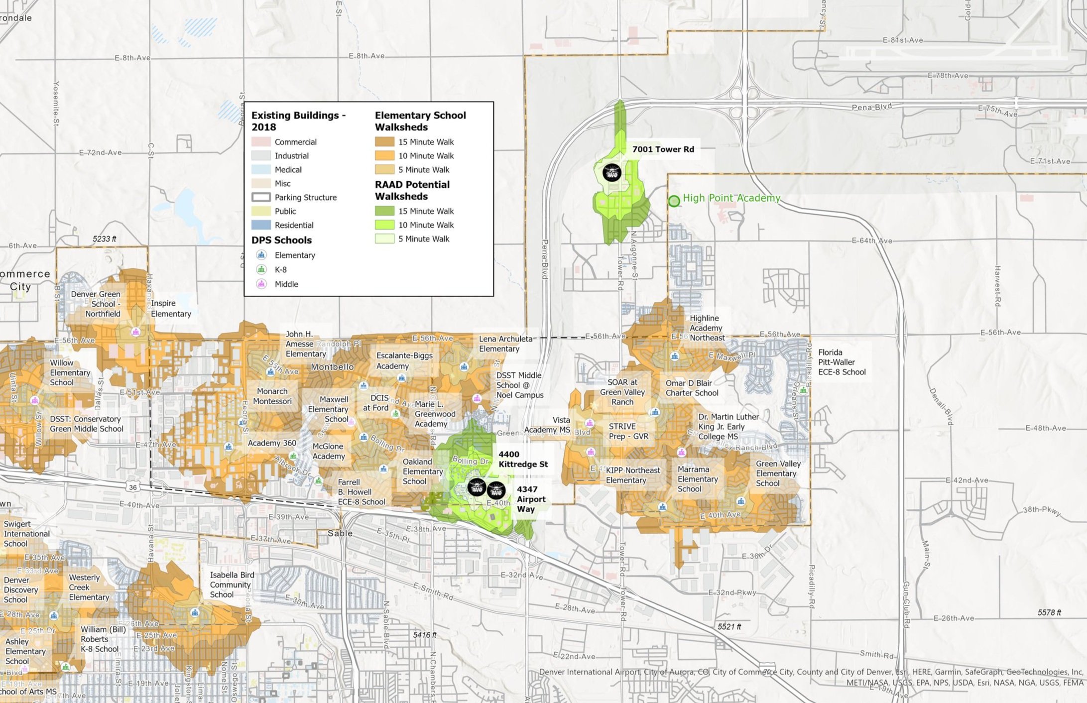
• Site analysis to support planning projects
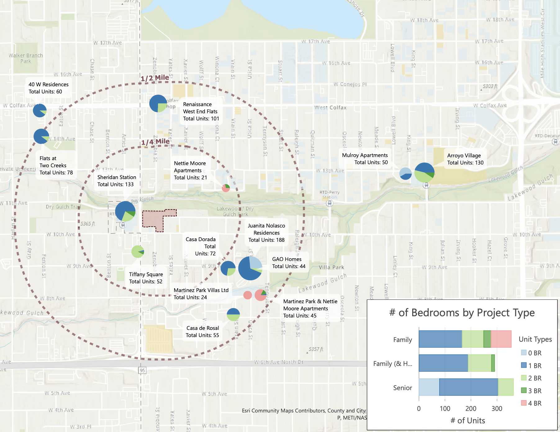
• Create high-quality maps + visualizations to support planning + design projects
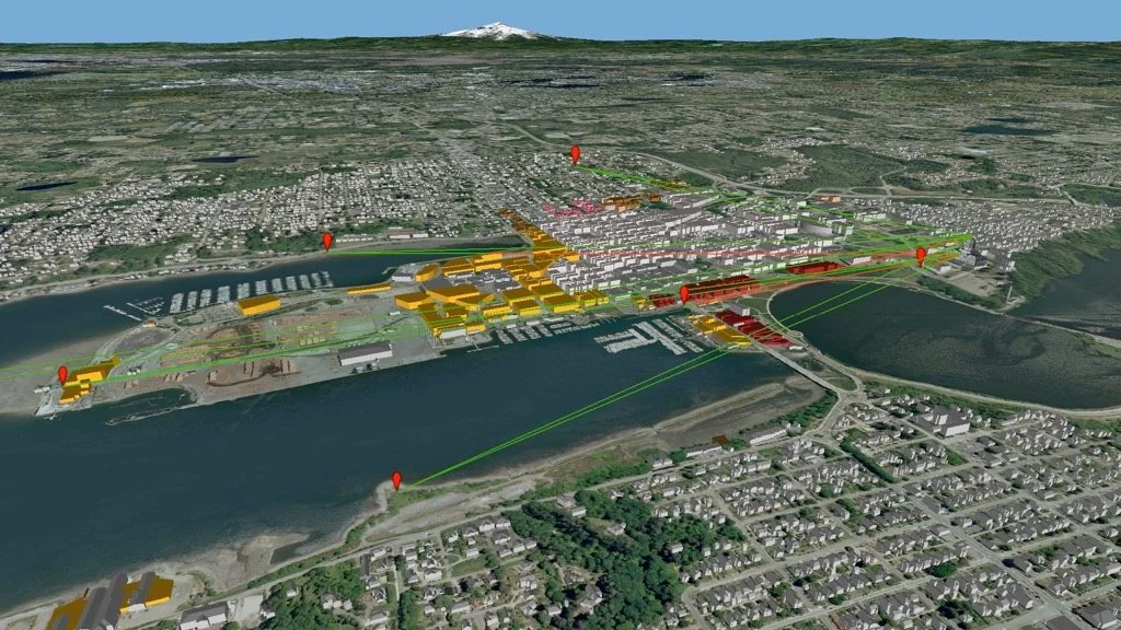
• 3D model development (site + landscape scale) for geospatial analysis + visualization -
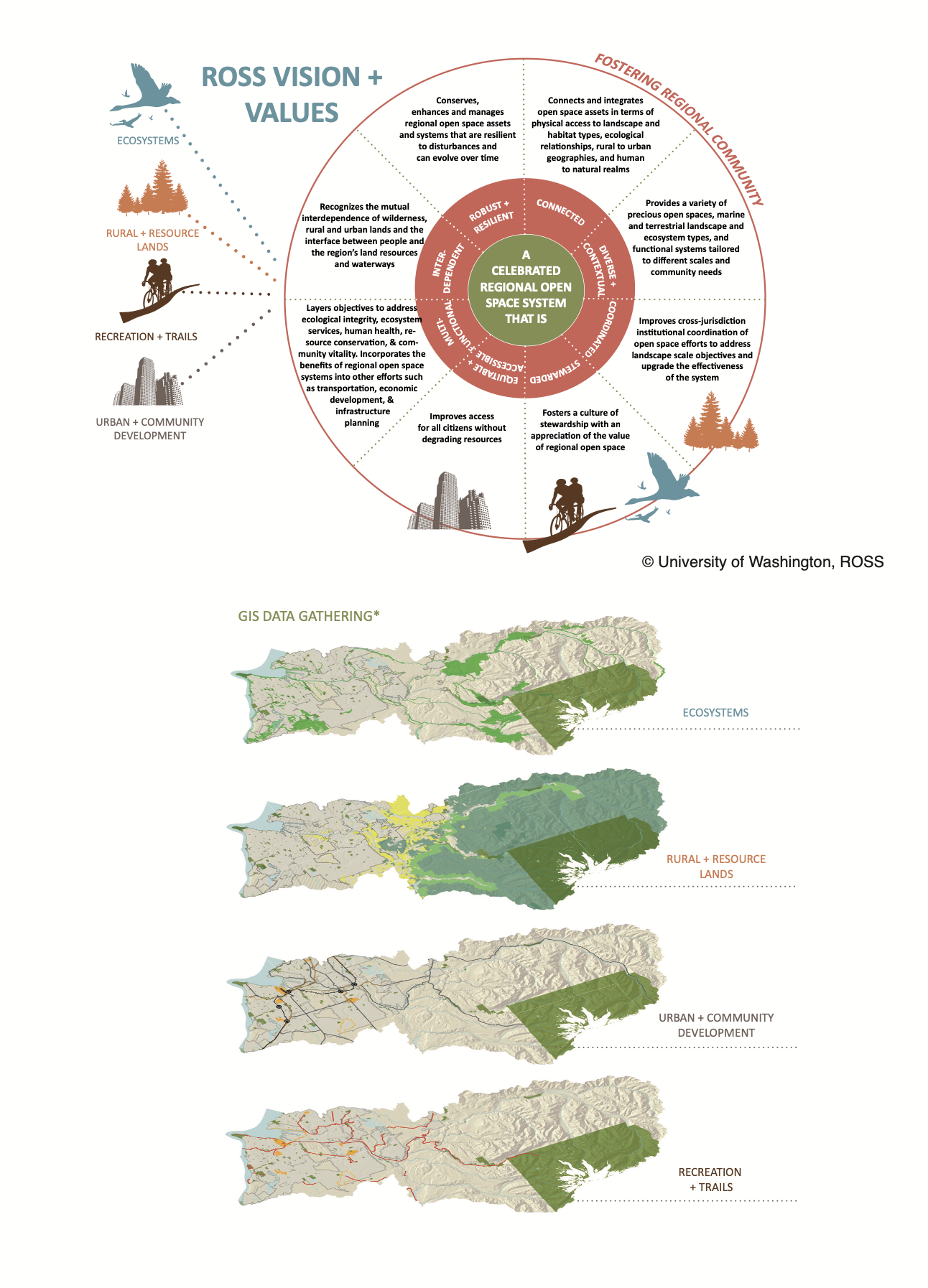
Resilience / Climate Change Mapping + Analysis
The integration of science with the design + planning process is a core component of Catamount Studio’s skillset. This includes experience analyzing such areas as:
• Energy + climate
• Water use + waste reduction
• Local food production + access
• Social equity
• Ecosystem services -
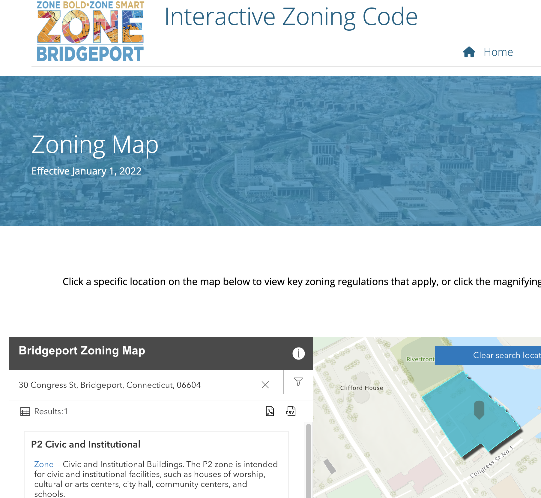
GIS Development + Web-based Mapping
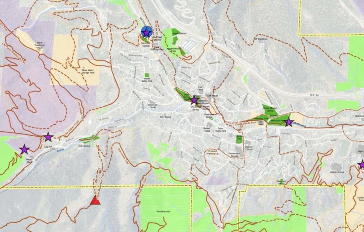
Often communities don’t have geospatial data or tools of their own to support planning or design needs. We provide tools for data collection and help communities either host their own GIS data or provide simple hosting of web-based maps for them.
-
Community Engagement + Deploying Tools for Community Planning
• Deploying tools for collaborative data capture + community engagement
• Integrating geodesign + scenario planning tools into the design + planning process
• Geospatial visualization tools to support community engagement
Example Projects


